

Hiking Box Elder Peak

Fast Facts:
Base Elevation: 6,775
Peak Elevation: 11,101
Hiking Elevation Gain: ~4,764
Distance: 10.65
Elapsed Time: 5:28 hours
Date: August 23, 2026
AllTrails: link
Box Elder is one of the less-traveled 11,000-foot peaks in the Wasatch because it is outside the Cottonwoods, farther south of Salt Lake City, and—let’s be honest—not as exciting a hike as a peak like Pfeifferhorn. But since it is an 11,000-foot peak, it must be climbed.
There are two trailheads you can take to summit Box Elder:
Deer Creek–Dry Creek Trail (043)
Box Elder Trail (044)
You can create a loop by starting at one trailhead and finishing at the other. The two trailheads are only a few hundred yards apart. I completed the hike as a loop, which I’ll describe below.
The shortest route begins at the Box Elder trailhead. When the trail intersects with the White Canyon Trail at 2.1 miles, turn right. Follow the White Canyon Trail for approximately 1.8 miles until it intersects with the upper section of the Deer Creek–Dry Creek Trail. Turn left and follow the ridge to the summit. This route is approximately five miles to the summit, compared with 5.7 miles via the Deer Creek–Dry Creek Trail. However, I think the Deer Creek–Dry Creek Trail is better maintained and is probably the more scenic route.
My suggestion is to complete the loop as I did by beginning at the Deer Creek–Dry Creek trailhead and descend via the White Canyon Trail to the Box Elder Trail.
Directions: head to Tibble Fork Reservoir in American Fork Canyon. Once you reach the reservoir, continue past it and turn left. Follow the road uphill until you reach the toll booth. Continue past the booth until you see the Deer Creek–Dry Creek trailhead on your right (see photo below)
The lower section feels like a dried up river bed.
At 1.4 miles, the trail starts heading east which is away from the summit and you will think you are going the wrong way but you are still on the right trail.

At mile 2, you get a good view of the summit.
As you hike, you may feel as though the trail is not taking the most direct route. That’s because it veers east to avoid passing beneath the large rock face pictured below.
At mile 3, you go up a short loose section.
At about mile 3.4, you get on top of the ridge which offers great views of Pfeifferhorn.

Then you continue through a meadow before you have a short descent to the saddle.
At mile 4.4 will be at he bottom of the saddle and on your left, you will see an unmarked trail which is White Canyon trail. If you want to do this hike as a loop, you will take this trail on your way back down.

Now for the fun part! It is only one mile to the summit, but the last mile gains 1,400 vertical feet. The good news is that the route is not technical, with no scree fields or bouldering. The lower section of the ridge begins on the east side but quickly crosses to the west and enters a wooded section, providing welcome relief from the morning sun.
This section is fairly steep, and the trail sometimes splits into several paths. However, they all lead to the same place, so don’t worry about taking the wrong route. Once you reach the final ridge, the slope angle mellows out, and it’s a quick hike to the summit.
And then you are on the summit!! This route was 5.6 miles to the top and it took my just under 3 hours with no breaks.
The summit offers great views of Mt. Timp (as seen behind me above), Lone Peak and even American Fork Twin Peaks.
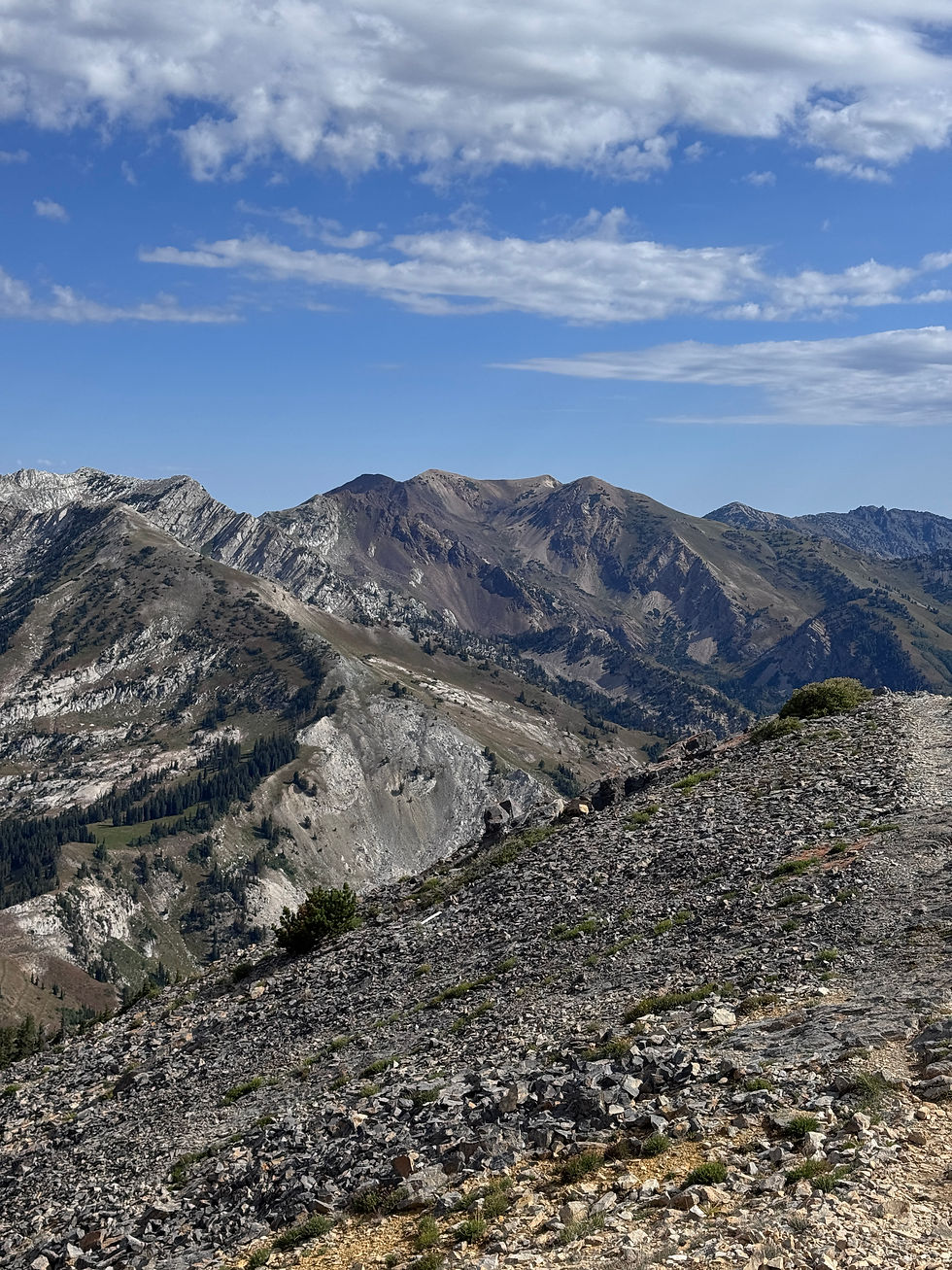
If you want to make this hike a loop, descend the same way you came up and at the 1.1 mile point, turn right onto the unmarked White Canyon Trail. This return route is slightly shorter, at approximately five miles, and feels more direct. The White Canyon Trail intersects with the Box Elder Trail (No. 044). When you reach the sign (see below),

turn left and follow the trail back to the parking lot.
Once you get to the parking lot, turn left and cross the bridge to return to the Deer Creek–Dry Creek trailhead.


Comments