Pfiefferhorn - Lightening Ridge - Thunder Peak Traverse
- CJ Wolf
- Jul 18, 2022
- 5 min read
Updated: Jul 18, 2022

Fast Facts:
· Peak Elevation: 11,326
· Number of peaks summited: 3 named, 1 unnamed (but the hardest)
· Elevation Gain: 6,452
· Distance: 15.28
· Total Time: 12:00
· Date: July 17, 2022
· Crew: Evan, Nate, Lucas, Sean & CJ
My nephew, Sean, had been itching to hike from the White Pine Lake trailhead to the bottom of Bells Canyon for the past 5 years. He mapped out the route which would include summiting Pfeifferhorn, Airplane Peak and Thunder Mountain South, traversing Lightning Ridge and then descending Bells Canyon. Summiting Thunder Mountain was one of my last remaining 11,000+ peaks in the Wasatch range to check off my list so I was down with the challenge. We knew it was going to be a long day but how long was up for debate because nobody in our party had traversed Lightning Ridge or hiked down Bells Canyon. It was the middle of July and the forecast was calling for triple digits in the valley so we opted for an early start (a very early start). We hit the trail with headlamps on at 4 AM and the temps were perfecting hiking conditions at around 70 degrees. I have written about Pfeifferhorn before so you can read about that summit in greater detail here. The group was motivated to get to Pfeiffhorn as close as possible to sunrise so an unspoken fast pace was set from the beginning. We arrived at Red Pine Lake (3.5 miles and 2,000 of vertical gain) in about 90 minutes.

When we got to the ridge, we were treated with an amazing sunrise that was hitting the top of Pfeifferhorn and we could also see several mountain goats on top of the summit (apparently, they had the same idea as we did). The Pfeiffhorn summit is 5.5 miles and 3,800 of ascending and we arrived just before 7 AM (3 hours).
After a short break on the summit to take in the amazing color throughout Little Cottonwood Canyon, we started to descend the west side.


The mountain goats that had reached the summit, were now playing in the fields. Despite living in the high Wasatch - the group of 14 goats, including several babies, seemed to be enjoying the high mountains more than us.

The descent to the saddle between Airplane Peak and Pfeifferhorn and the ascent up Airplane was quick and not technical. We were on the summit of Airplane Peak (11,137) by 7:45.


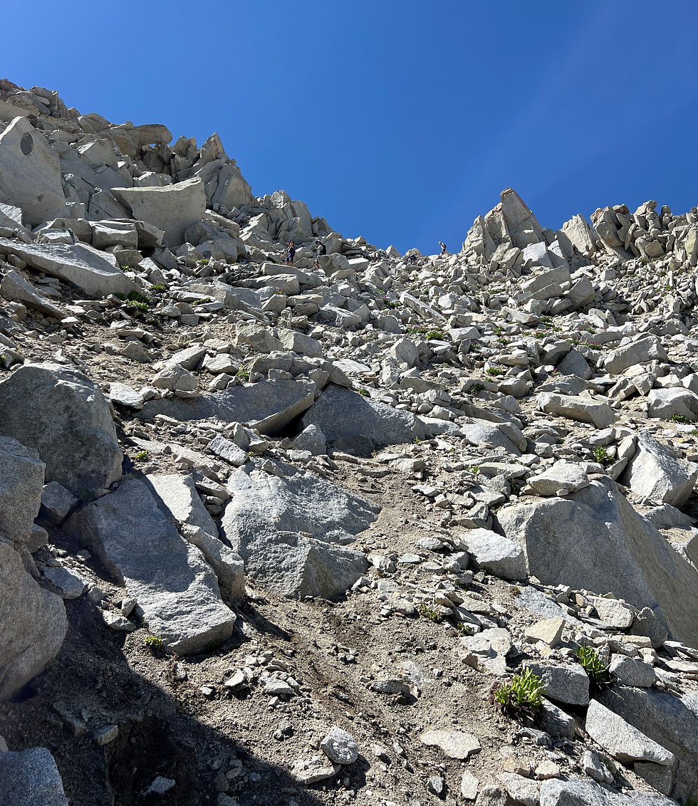
We continued along the west/southwest Airplane ridge heading in the direction of Lightning Ridge. But before getting Lightning Ridge, there is a unnamed peak which proved to be the most challenging peak of the day. We attempted to stay on the ridgeline but it appeared that going slightly to the west would require a less technical ascent. The route that I chose was probably class 4 but if you went further west, it was not as technical. This section consumed more time than expected but it was still only 9:00 by the time we reached the summit.

While waiting for other members of our party, Sean took the opportunity to sprint out to Chipman Peak (10,954) and claim another peak for the team.

Now the group was reunited at the start of Lightning Ridge on the southeast side. When you look up at Lightning Ridge from Hogam Fork, it is a sheer cliff face so we were concerned that this ridge would be knife-edge akin to the Pfeiffhorn ridge section. But luckily the west side of Lightning Ridge is fairly tame. If you marched along the actual ridge line the entire way- it would be a little more spicy than walking 50-100 yards to the west plus this approach was quicker with more route options. This section was primarily one big, long granite field of boulders but they were sturdy and not consequently. Lightning Ridge took under 90 minutes by the time we wrapped around the west side.
From west end of Lightning Ridge, you had a great view of Thunder Mountain South Peak.

What seemed like a long way off and an arduous climb, it only took us 15 minutes to claim Thunder Mountain South at 11,154.

While on this peak, we bumped into only the 2nd person of the day, and he had come up from Lake Hardy where he was camping. It was now 10:30 AM so we had been hiking for 6.5 hours and we were debating heading north to bag Thunder Mountain North but the ridge looked sketchy and therefore time consuming. One of our buddies, Evan, had a flight to catch at 4:00 PM so we used that as an excuse to head home but secretly I think the whole crew was ready to head down (I know I was ready). Evan might have been able to make his flight if we elected to descend via the Little Bell ski run and down to Bells Canyon Reservoir which links up with the Upper Bells Canyon trail, but we elected to continue along the ridge to Thunder Mountain Bowl. This is where our epic hiking day started going south.
The descent into Thunder Mountain Bowl was steep with some very loose rocks but nothing too concerning.
The loose rocks turned to big boulders about 750 feet below the summit and there was a large snowfield that Sean elected to “ski”. Surprisingly, he was skiing quite well which resulted in gaining too much speed so he hit the eject button before the snowfield terminated into a pile of rocks. At about 10,000 feet, the boulders field subsided and we found some nice grass but no sign of a trail.

At about 9,500, it started getting steep, so we were constantly trying to avoid cliffs which required multiple stream crossings.

At about 8,700, we ca

me up a very steep section that was too steep to descent thus we found ourselves backtracking uphill and traversing east to avoid stumbling off a ledge. Sean, Lucas and I found a narrow and very steep chute that we took going down on our asses while Nate and Even continued east and presumably found a slightly more manageable route. When we thought it couldn’t get any worse- it got a whole lot worse with deep, thick brush that felt like mangroves. It was so thick that you couldn't discern if you were stepping on rocks, mud, a stream or into a hole. This went over for about a mile and close to 1,000 feet. We soon reconnected with Nate and Evan but it was now abundantly clear that Even had no chance of catching his flight. The bushwhacking continued to around 8,000 where we FINALLY intersected with the Upper Bells Canyon trail. Even though we still had close to 3,000 feet of descending, everyone was overjoyed to be on an actual trail for the first time in about 10 miles. It was now late afternoon and we could now feel the full brunt of the SLC heat. At about this point, we all ran out of water but we were getting close to the car so nobody was concerned. We soon came to the Bells Canyon waterfall and even though it required a short hike in and up to the plunge pool - we unanimously agreed a cold dip was in order. By this point, everyone had cuts and scraps on their legs and hands, so the cold plunge never felt so refreshing.

In summary, it was a monstrous day where we bagged four 11,00+ summits, covered 15+ miles over 12 hours but I could have done without the bushwhacking in the Thunder Mountain Bowl. Pro tip, if you are looking to reach the Thunder Mountains, ascend/descend Bells Canyon from the Bells Canyon Reservoir zone.


Comments